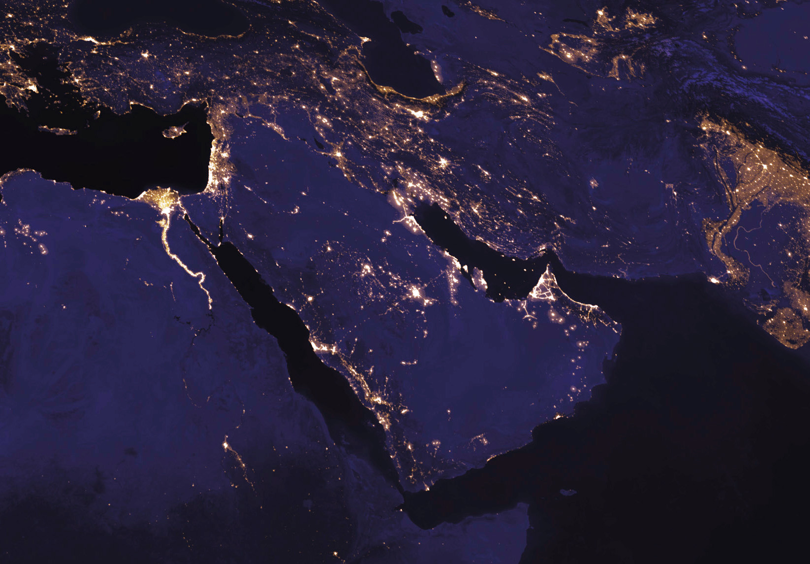
I'm concluding with this map to look at the region without political borders, without demographic demarcations of religion or ethnicity, without markers of conflict or oil. Looking at the region at night, from space, lets those distinctions fall away, to see it purely by its geography and illuminated by the people who call it home. The lights trace the rivers that have been so important to the Middle East's history, and the world's: the Nile in Egypt, the Tigris and Euphrates that run through Iraq and Syria, the Indus in Pakistan. They also show the large, and in many cases growing, communities along the shores of the Persian Gulf, the eastern Mediterranean, and the southern end of the Caspian. It's a beautiful view of a really beautiful part of the world.
http://www.vox.com/a/maps-explain-the-middle-east
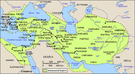
ZackNote: please compare for reference the below map of Cyrus the Great's Empire at it's maximum extent.
Startling n'est ce-pas?
No comments:
Post a Comment